Northern Vermont Mountains Face Up to Six Inches of Snow by Sunday
Peter Kvietkauskas forecasts gray skies and elevation-dependent snowfall for the weekend, with rain showers expected in the valleys.
By Nathan Cooper ·
Leftover snow showers are clearing from central and southern Vermont by mid-morning Friday. The rest of the day remains dry but cloudy. Temperatures will rise into the upper 30s and lower 40s by afternoon. Overnight lows will settle into the 30s under mainly cloudy skies.
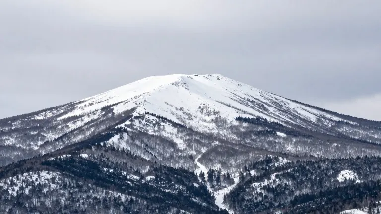
The weather turns unsettled for the weekend. Clouds will persist, bringing rain showers to valleys and snow showers to higher elevations. Northern mountain peaks stand to gain the most precipitation. Forecaster Peter Kvietkauskas projects upwards of six inches of new snow for those high areas through Saturday and Sunday.
This system is highly dependent on elevation. Snow totals drop quickly below the summits. Kvietkauskas does not expect major road issues, but mountain passes could become slick at times. Temperatures will stay in the upper 30s and lower 40s for both days.
A switch to sunshine begins Monday. The start of the week remains cool, with temperatures in the low to mid 40s. Clear skies continue through Tuesday, Wednesday, and Thursday.
As the sun returns, temperatures will climb toward the low and mid 50s by midweek. This marks a shift from the cooler, cloudy conditions of the weekend to a warmer, brighter start to the new week.