60 percent rain chance looms over Bradenton Saturday
A weak Gulf low brings weekend showers before a cold front cools the holiday week.
By Mei Chen ·
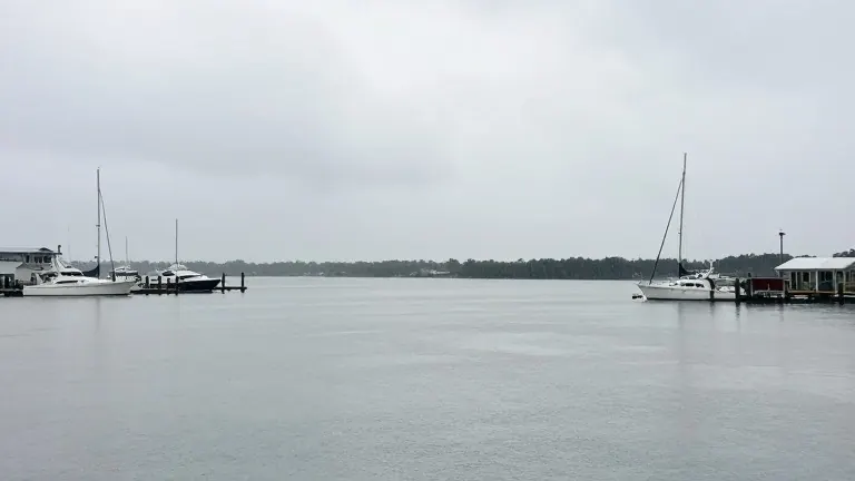
A weak low pressure system over the Gulf of Mexico will bring rain to the Bradenton and Sarasota areas on Saturday. The National Weather Service forecasts a 60 percent chance of showers for both cities. Highs will reach near 78 degrees in Bradenton and Sarasota, with temperatures near 80 degrees farther south.
Residents in Sarasota and Charlotte counties should expect the heaviest rain, with totals ranging from a quarter to a half inch. Bradenton will see lighter amounts. Showers will become scattered Saturday night, with lows dropping into the upper 60s. Boaters can expect northwest winds of 5 to 10 knots and seas around 2 feet with a light chop.
Sunshine returns on Sunday. Highs will range from 78 to 81 degrees, with only a slight chance of a shower. Sunday night will be partly cloudy with a low around 65 degrees. High pressure will keep Monday mostly dry, with highs in the mid to upper 70s. Clouds may increase Tuesday and Wednesday, bringing a slight chance of showers that is highest over southwest Florida.
A cold front will move through Wednesday night with little rain expected. Thanksgiving will be mostly sunny with highs of 72 degrees. A north-northwest breeze of 10 to 15 mph will accompany the cool-down. Lows Thursday night will drop to 58 to 60 degrees, and Friday’s highs will only reach about 70 to 72 degrees.
The Climate Prediction Center favors below-normal temperatures and above-normal rainfall for much of the Florida Peninsula from November 26 to 30. This suggests any extra rain is more likely to fall after the holiday. The National Hurricane Center notes that chances of a tropical or subtropical storm forming off Florida’s east coast have decreased. The agency now gives the low east of Florida a 30 percent chance of development over the next seven days, down from 60 percent on Thursday.
The system is expected to move north, passing near the North Carolina and mid-Atlantic coasts on Sunday. The National Hurricane Center’s hazards are focused on the Southeast and mid-Atlantic coasts, not the Suncoast.
More News · Bradenton news · Report a business · Got a Story?